Both nights that we spent in the Winds, we found different dispersed camp sites within Sinks Canyon State Park and enjoyed overlanding through the vastly different terrains beyond the main road to explore remote spots to set up the tent.
We drove through a red rock canyon that felt reminiscent of our dispersed camping sites in Sedona, AZ and then continued past wholly distinct geological layers of time in rock, as we continued to push further into the park.
Our second night in the park, we really pushed the limits of our off-roading capacity by crawling the truck straight down a steep, scrub-brushed hillside on a dirt path mainly used by ATVs and mountain bikes.
We did confirm that we were permitted to access the area in our truck, but there were definitely spots where it got slightly dodgy and where I had to repeatedly hop out of the truck to remove boulders from the path, or direct Taylor around massive ruts in the mud, or hold tree branches away from the solar panel as we scraped (quite literally, taking some paint off the truck) our way through a tight grove of aspen.
But it was worth it, and we just repeated our roadtrip mantra of “nothing precious,” figuring that we could buff the scratches out of the truck later. We parked the truck on the edge of a babbling creek and had a quiet camp site only interrupted a few times by individual mountain bikers or an occasional ATV fording the creek.
During the day, we explored more of Sinks Canyon State Park and learned about the fascinating geology and history of the place. As we read on a sign at the visitor center:
The name Popo Agie, pronounced “Puh-POE-Shuh,” has been changed over time as non-tribal settlers moved into the area. The current name Popo Agie is a derivative of the word Poppotcháashe, from the Crow language. Poppotche is the onomatopoeic sound of water as it gurgles and pops, and Aashe means river.
The name Poppotcháashe comes from the sound that spring run-off makes going into “the Sink,” where the river disappears into a subterranean limestone cavern. It runs underground for a quarter mile and reappears in a large trout-filled pool called “the Rise.”
Everywhere we have traveled on our trip, we have been intentional in learning about the native peoples of that place, and what they called the land and its features before it was (most often) stolen through acts of theft, deception, genocide, resettlement, and broken treaties.
This pursuit has been a process of continual learning (and unlearning) for us, and one that feels ever more vitally important, as our nation’s leaders make damning pronouncements and policies about who this country and this land is open to and for.
In Sinks Canyon State Park, we learned that the Eastern Shoshone have been present in (what is now known as) the Wind River region for over 12,000 years. The Northern Arapaho joined them on the shared Wind River Reservation after being relocated from Colorado in the late 19th century. Both tribes continue to live on this land today.
We are acutely aware that this is and will always be native land, and we are grateful for their careful stewardship of this beautiful and sacred place.
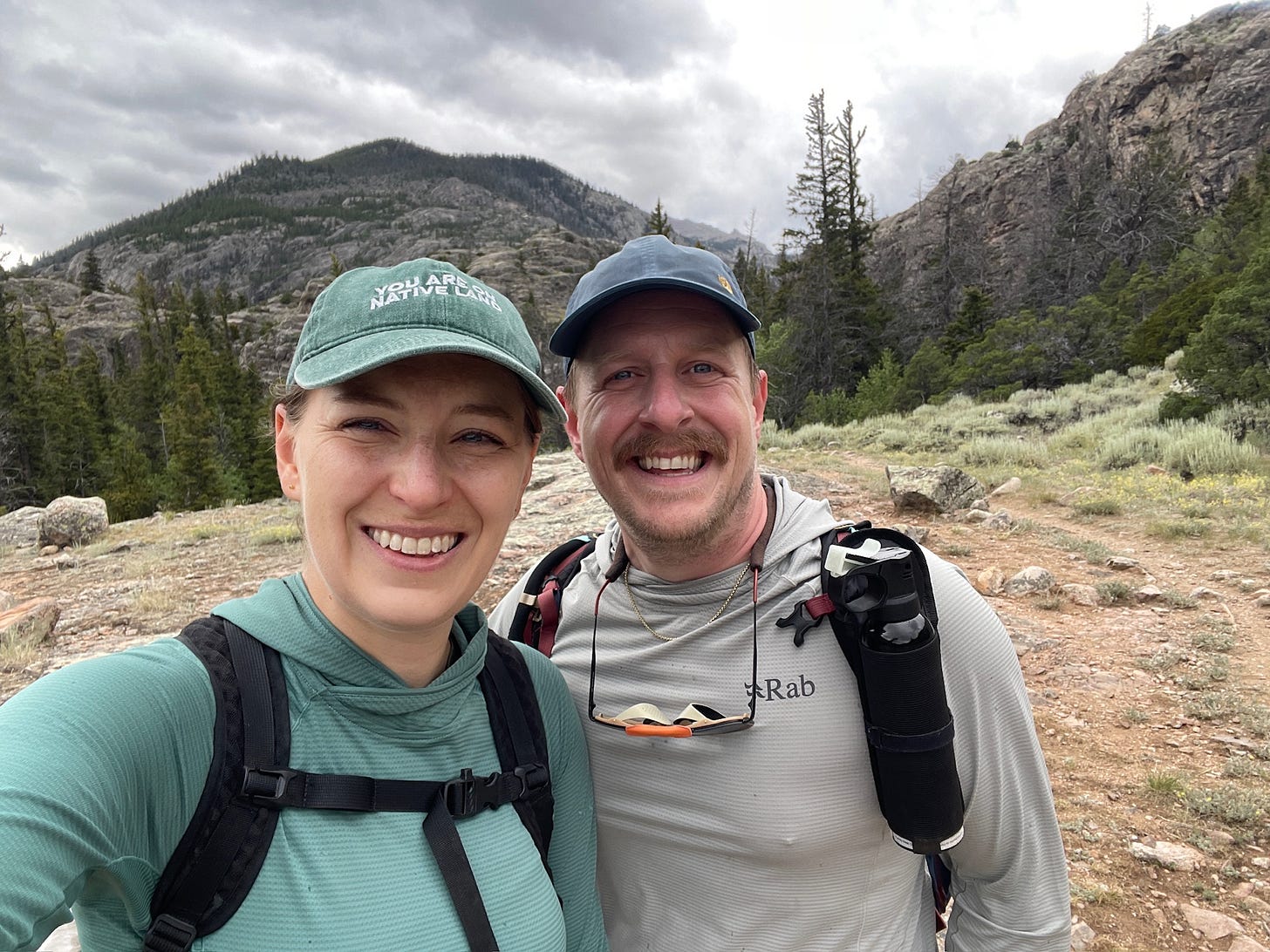
Also, shoutout to Urban Native Era, the indigenous makers of my favorite hat, which I’ve worn almost daily on this trip and reads, “You are on native land.”

After checking out the excellent information and exhibits at the visitor center (along with two live ferrets, because ferrets are apparently also native to this land?!) we drove to a nearby trailhead and took our last hike in the Winds. We trekked along the Middle Fork of the Popo Agie River until we reached a series of impressive waterfalls.
Along the way, we kept noticing hikers on the trail in swim suits and carrying camp towels. We finally ascertained why when we saw that the trail eventually led to a part of the falls where the river forms a natural rockslide above a shallow pool. Other other folks clearly knew about this place and had sought it out on this hot summer day.
We wished desperately that we had brought our suits or that we didn’t have to hop directly back into the car right after our hike, as we watched a few people slide into the cool water. Alas, we settled for a trail snack of carrots, snap peas, and the most perfect Rainier cherries beside the waterfalls and then made our way out of the park.
From the Wind River Range, we plan to make our way towards Wind Cave National Park and Custer State Park in South Dakota as we continue our trek back east.


